
Rutherford County Neighbors by Block
Public sources can help place Rutherford County neighbors in an immediate parcel and community context, but none is an open roster of people. The county address and parcel layers identify geographic features. The Assessor connects a parcel with assessment and owner information. The Election Commission provides specific paid voter-data products under its own rules. Historic directories and maps can add a dated name or tract. Keep the distinction clear: an assessed owner, a mailing contact, a dated directory listing, and a public community contact are separate record roles.
| Block source | Useful local context | Access route |
|---|---|---|
| County address and parcel GIS | Address points, parcel geography, municipality, subdivision, and nearby lots | County GIS and public map services |
| Assessor property search | Parcel, situs, mailing, assessment, and owner fields where displayed | Online Assessor Quick Search |
| Election data products | Specified names and mailing-address products, with household grouping depending on product | Written order through the Election Commission |
| Community contacts | Public governance, board, covenant, or group-formation information | Official city or association pages |
| Historic sources | Dated landowner, directory, tax, newspaper, and cemetery context | Archives, library, and map collections |
For Rutherford County neighbors, an owner field is an ownership lead, not proof of occupancy. A mailing address can be a post office box, another parcel, or an address outside the county. Likewise, a street number on a historical map or directory has to stay tied to its date and source. That careful wording preserves a useful block record without turning it into a speculative list of private people.
Rutherford County Neighbor Addresses
The county’s SiteAddressPoint layer is the starting geographic layer for a block. It can expose a full address, unit information, ZIP and ZIP4, municipality, MSAG or PSAP community, subdivision, coordinates, update information, and verification fields. Its purpose is address authority and mapping. It does not contain a public occupant field. County GIS says its maps are periodically refreshed, carry no warranty, and are not legally binding or certified surveys.
- Subject parcel
- The parcel selected from the starting address before any nearby lots are compared.
- Situs address
- The physical location attached to a parcel for assessment purposes.
- Mailing address
- The tax-correspondence destination, which can differ from the situs address.
- Address point
- A mapped location with road, unit, jurisdiction, and related addressing fields, not a person record.
Units deserve special care. The county domains distinguish values such as apartment, suite, trailer, room, and unit. A base address and a separate unit label are not safely the same record. Save the raw road label with the normalized form, because directions, road types, city labels, and rural wording can differ between GIS, assessment, and older material.
Map Rutherford County Neighbors
Use a repeatable parcel method to map the immediate block. Begin with the subject address, then record only adjacent parcels or parcels directly across the named road. A stream, common area, right-of-way, condominium parcel, or vacant point can make a visual result look closer than it is. Mark an across-road parcel separately from a shared-boundary parcel. The county’s map remains a research aid, not a boundary determination.
- Locate the subject address through the county GIS and save its parcel identifier, municipality, and source date.
- Identify the parcels that share a boundary or sit across the named road, recording each parcel identifier and situs address.
- Check the Assessor result for each parcel and retain owner and mailing fields as assessment context, without calling either field an occupant.
- Normalize each nearby delivery address through USPS ZIP Code Lookup, then preserve its result only as address confirmation.
- For a dated block question, add deeds, directories, tax material, or map evidence one source at a time.
A full named-street record chain uses more address-specific sources and years. The Rutherford County Street Directory follows that longer path. Here, the useful stopping point is a documented immediate block, with relation, source, and limitation visible beside each parcel.
Rutherford County Neighbor Voter Layer
The Election Commission’s Voter Data page describes paid products rather than a free block lookup. It lists a $50 CD electronic-data product, printed standard voter lists at two cents per voter, and printed labels at 25 cents each. The CD is the only listed route for voter history, with one to ten years available according to the county page. Orders are written and picked up after notice, and the page says no Social Security numbers are provided.
Those products operate in a statutory political-purpose context under T.C.A. § 2-2-138. A household-grouped standard list, a list of voters who voted, a label product, and registration-status administration answer different questions. The county’s Am I Registered? page routes an individual to the state tool, but the inspected county page did not expose the state tool’s fields. Do not fill that gap with a guessed form or treat election addresses as proof that a person is present at a parcel.
Note: Specify the jurisdiction, date range, product type, and intended official use before asking the Election Commission for a voter-data order.
Rutherford County Neighbor Contacts
Public community pages can add neighborhood context without exposing a member list. Rutherford County research verified one city program and three association examples. They publish different things: a group-formation route, board or covenant material, subdivision governance, or a public contact path. No official countywide association directory was found. A public homepage therefore confirms only the information that page actually publishes.
Murfreesboro Neighborhood Watch
The city permits groups around a block, building, park, business area, or other defined area. Its page provides the program contact route, not a participant roster.
River Downs HOA
Its public page provides board, covenant, and contact material, including a board-form delivery address. No public member directory was located.
Keeneland HOA
The association’s public material includes subdivision articles, formation information, dues context, and a board route. It does not provide a public resident list.
Savannah Ridge HOA
The public page provides a contact route and member-login area. The member area is restricted, so public governance material is the appropriate stopping point.
The Murfreesboro Neighborhood Watch program describes an area-based organizing model for a block, building, park, or defined community area.
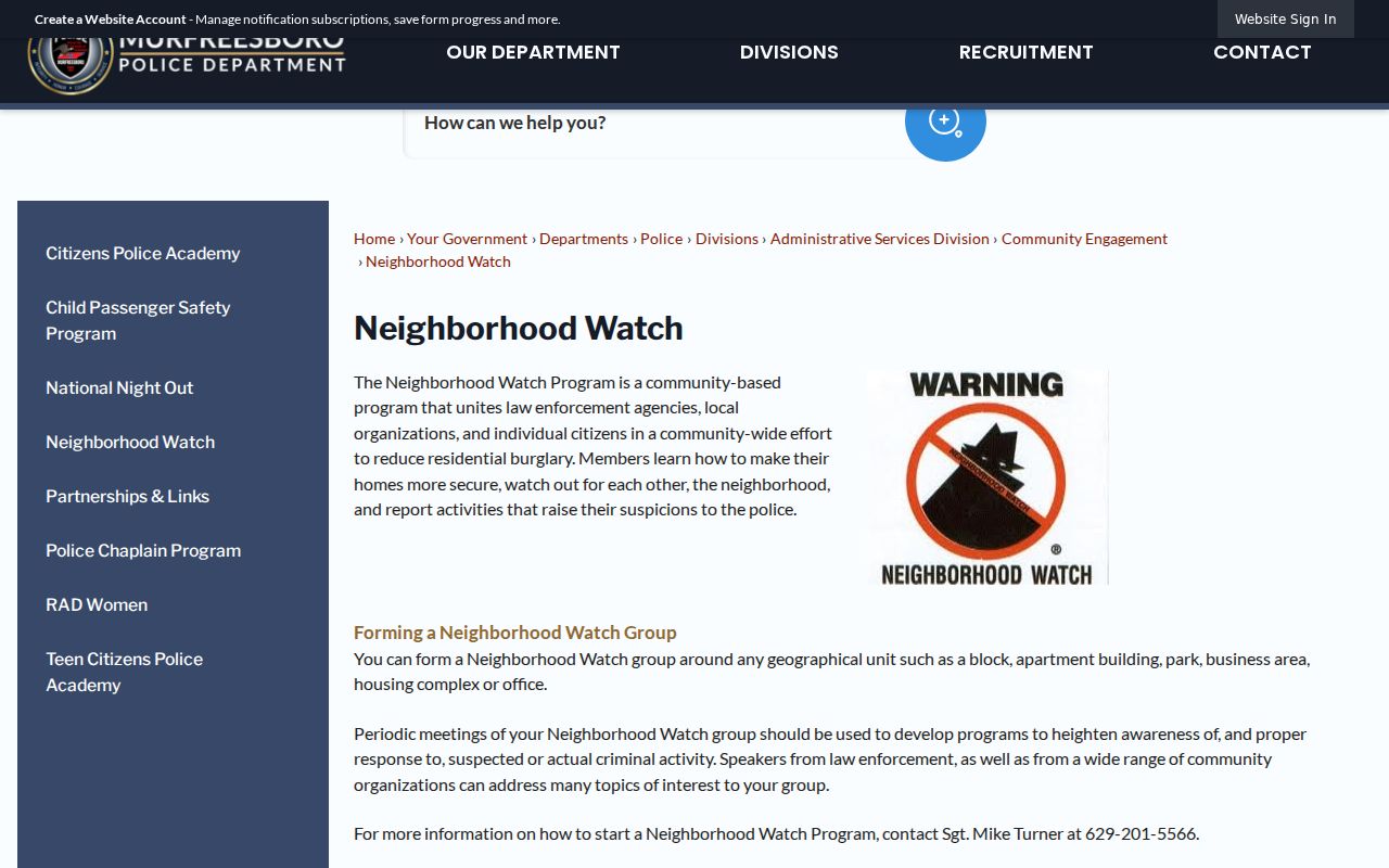
That public route helps a reader identify a lawful community contact without implying that nearby people participate in the program.
River Downs HOA’s public page illustrates the limited governance and contact layer available from an association website.
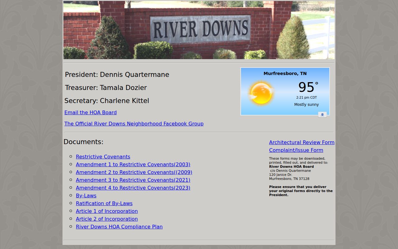
The page is useful for its published board and covenant information, while the absence of a public member directory remains material.
Keeneland HOA presents public association governance and subdivision information for its community.
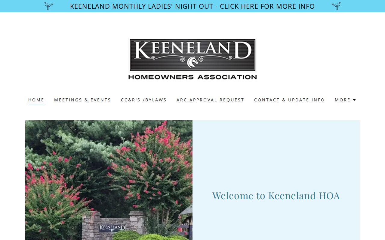
Use such public details to understand the association layer of a block, not to infer membership or household composition.
Savannah Ridge HOA’s public home page provides its public-facing contact and governance route.
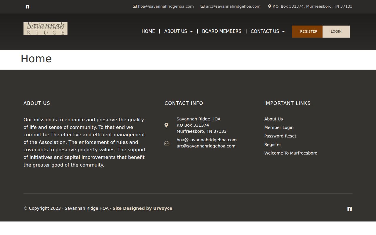
The visible member-login boundary is a clear reason to stay with public contact material rather than seek private association information.
Historic Rutherford County Blocks
Older block research uses a different geography. The 1878 Library of Congress map names landowners, roads, tract lines, railroads, town insets, and a population table. It can bridge a surname to an earlier place, but a map label may identify a landowner rather than another person associated with the tract. Pair it with the Rutherford Archives tax records, directories, deeds, newspapers, or cemetery evidence, and retain the era for each item.
The Rutherford County Cemeteries FeatureServer is another dated geographic lead. It publishes cemetery points with a NAME display field and verification or moved-location status.
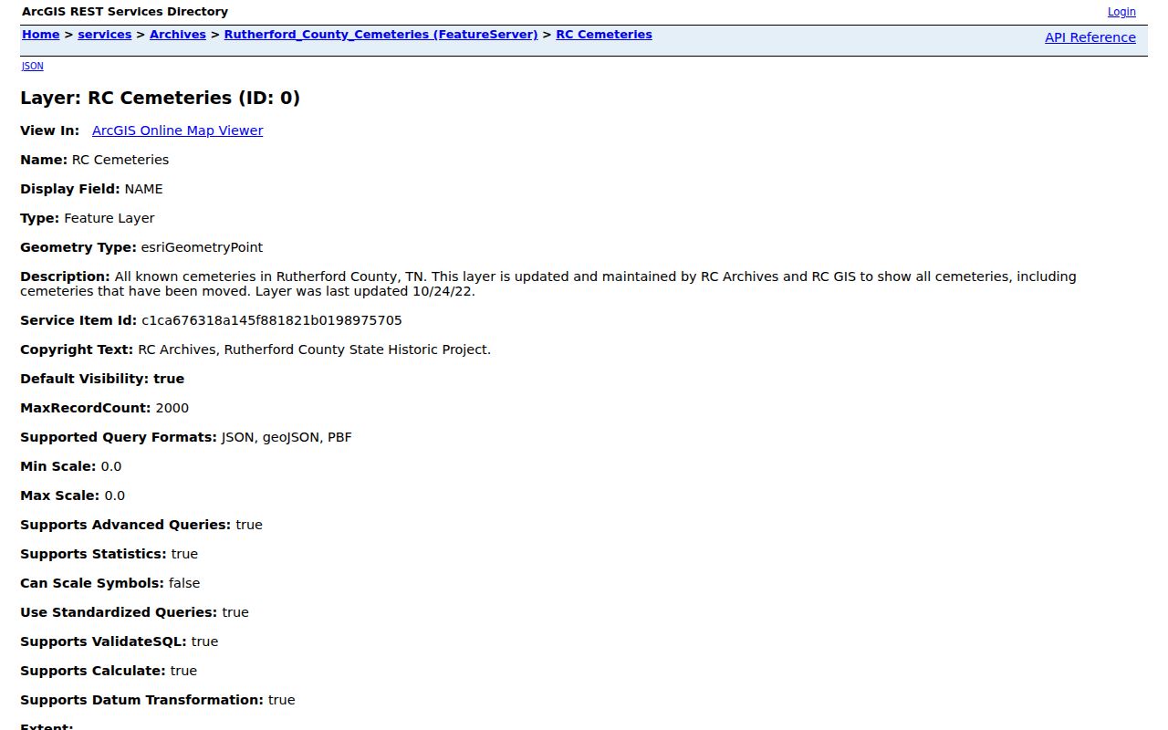
A cemetery point can guide further Archives or Historical Society research, but it does not establish a current address or a block relationship.
Rutherford County was organized in 1803, and early Murfreesboro records may use lot, tract, town, or rural descriptions rather than a modern street number. The county’s current boundary and address fields should not be projected backward onto an earlier record without an intervening deed, map, or dated directory source.
Access channels change with the source. Assessor and GIS material is online; recorded conveyances use the Register of Deeds office, its index route, phone, mail, or e-recording procedures. Archives and Historical Research Center material may require a call, email, or visit, while Tennessee State Library and Archives microfilm supplies older deed continuity. A public-records request can seek an existing county map or report, but it cannot require the county to create a new block list.
Rutherford County Neighbor Tools
Official sources and commercial neighbor-search categories serve different purposes. The official record keeps its custodian, field meaning, source date, and correction route visible. Commercial tools can combine old and new fragments from more than one source, but their results may not show why a name was matched to an address. For a block question, that missing provenance makes it harder to separate parcel ownership, mailing contact, historic listing, and actual presence.
| Official record route | Commercial neighbor-search category |
|---|---|
| Identifies the custodian, record type, and date | May combine fragments with limited source detail |
| Provides an office or published correction path | May require a separate correction or suppression process |
| Supports a narrow parcel, map, or civic-contact question | Can blur owner, address, and relationship labels |
When an official result appears wrong, return to the Assessor, GIS, Register of Deeds, Election Commission, or other custodian. The Tennessee Public Records Act concerns existing records held by government bodies; it does not require a county office to create a new block list or answer an open-ended question.
Rutherford County Neighborhood Edges
Rutherford County blocks cross several systems. Murfreesboro, Smyrna, La Vergne, Eagleville, Rockvale, Christiana, Lascassas, and rural areas can share county address infrastructure while falling under different municipal, postal, map, or permit jurisdictions. The address layer can show municipality, subdivision, MSAG, PSAP, ZIP, and ZIP4. Murfreesboro’s governmental GIS service also publishes city limits, annexations, subdivisions, zoning, and Census ZIP polygons.
Compare those layers before assigning a community contact or a records custodian. A postal-city name may not match a city boundary, and a county permit report covers unincorporated activity rather than every municipal address. This geography is especially important near city edges, where an adjacent parcel may be close on a map yet belong to a different local system.
Rutherford County Neighbor Privacy
Some information must stay outside a block record. Tennessee vital records have statutory confidentiality periods under T.C.A. § 68-3-205. Courts can seal or restrict records, and Tennessee’s Safe at Home program uses substitute addresses for eligible participants. An assessment mailing field, a voter mailing address, a map point, or a ZIP result is not a reason to reconstruct protected information. USPS also says its lookup does not confirm a person or organization at an address.
Use source dates and role labels, omit sensitive identifiers and unit details where protection applies, and direct corrections to the custodian. The Register of Deeds cautions that it is not a title-search provider, while GIS warns that its maps are not surveys. A name in any one source needs independent, lawful confirmation before it is treated as the intended person.
Lawful use. Rutherford County neighbors research can support family history, community context, and a safer understanding of public records. Do not use records or maps to stalk, harass, intimidate, or harm anyone, and do not contact private people merely because a public source names them.