
Finding a Rutherford County Street
A street search starts with an address rather than an unbounded name search. Rutherford’s SiteAddressPoint layer is the addressing authority layer; the Assessor supplies parcel, owner, situs, and mailing context; GIS supplies jurisdiction and map context; the Register supplies land instruments. Each layer answers a small part of an address question. A public owner name is not proof that an owner lives at the situs, and a mailing address is not a replacement for a physical address.
Use the narrowest address possible. Preserve an apartment, suite, lot, floor, or other unit label. The county’s address domains distinguish many unit types, so 100 Main and 100 Main Apt 2 should never be folded into one record. Road directions, type, and raw historic spelling matter too. A current point can help find a parcel, but it does not date a move or identify every person associated with that number.
- Validate the full street and unit with USPS.
- Read the county address point for road, unit, municipality, ZIP, and update fields.
- Search the Assessor by Address, then use parcel or advanced street filters.
- Use GIS and the parcel record to establish jurisdiction and neighboring parcel context.
- Follow recorded deed parties through the Register, then use dated directories or Archives sources for history.
Rutherford County Street Address Fields
The official SiteAddressPoint service exposes full address and label fields, road components, unit type and number, ZIP and ZIP+4, municipality, subdivision, coordinates, verification fields, and LASTUPDATE. It also includes MSAG and PSAP fields that can explain an emergency-address label. These fields are useful for resolving a street name, municipality, or unit. They are not a source of private occupant information.
| Address field group | Street-directory use | Limit |
|---|---|---|
| Road and unit | Normalize direction, road type, and apartment detail | Does not date occupancy |
| Municipality and subdivision | Choose county or municipal record route | Postal city can differ |
| ZIP and ZIP+4 | Compare delivery and address-layer context | Validate with USPS |
| Update and verification | Explain an address-layer discrepancy | Not a person-move date |
County GIS states that its maps are refreshed periodically, have no warranty, and are not certified surveys. That disclaimer belongs beside every street-level conclusion. For a disputed boundary or legal description, consult the recorded document or an appropriate professional rather than treating a map display as final.
View the County Core Services Addresses MapServer before using its query and mapping controls.
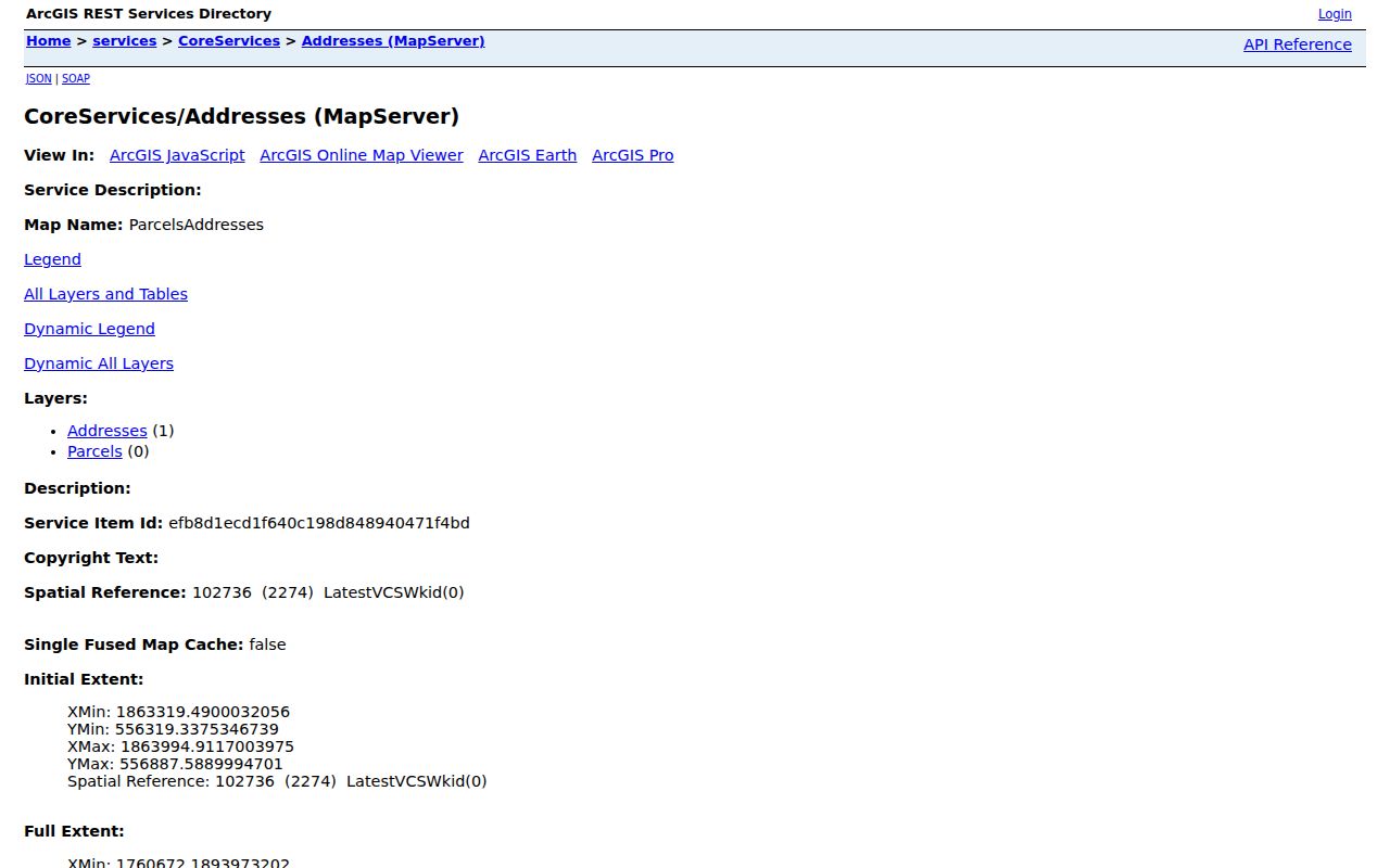
The address service screen documents the official map and query layer used to establish a Rutherford County street identity.
Rutherford County Assessor by Street
The Assessor Advanced Search is the practical street directory tool when a single address is not enough. It displays parcel, building type, lot-size, value, owner, year-built, finish-size, sale-price, street-name, street-number, beds, neighborhood, sale-date, baths, LUC, and book/page controls. The displayed advanced fields are optional. Begin with street name and number, then narrow only as supported by the address and parcel evidence.
| Assessor control | Format or choice | Use |
|---|---|---|
| Quick Options | Owner, Address, Map & Parcel | Choose the known starting fact |
| Quick text | At least three characters in practice | Owner or street text route |
| Street Name / Number | Optional advanced fields | Filter a long road |
| Book / Page | Two text fields | Bridge property and recorded references |
The property record is for ad valorem tax purposes. It can show a parcel, owner, situs, mailing address, values, building details, sale or book/page fields if populated, and a map link. Its result fields are assessment evidence. Do not convert them into a list of persons living on a street.
Open Rutherford County Assessor Advanced Search to see the live field set.
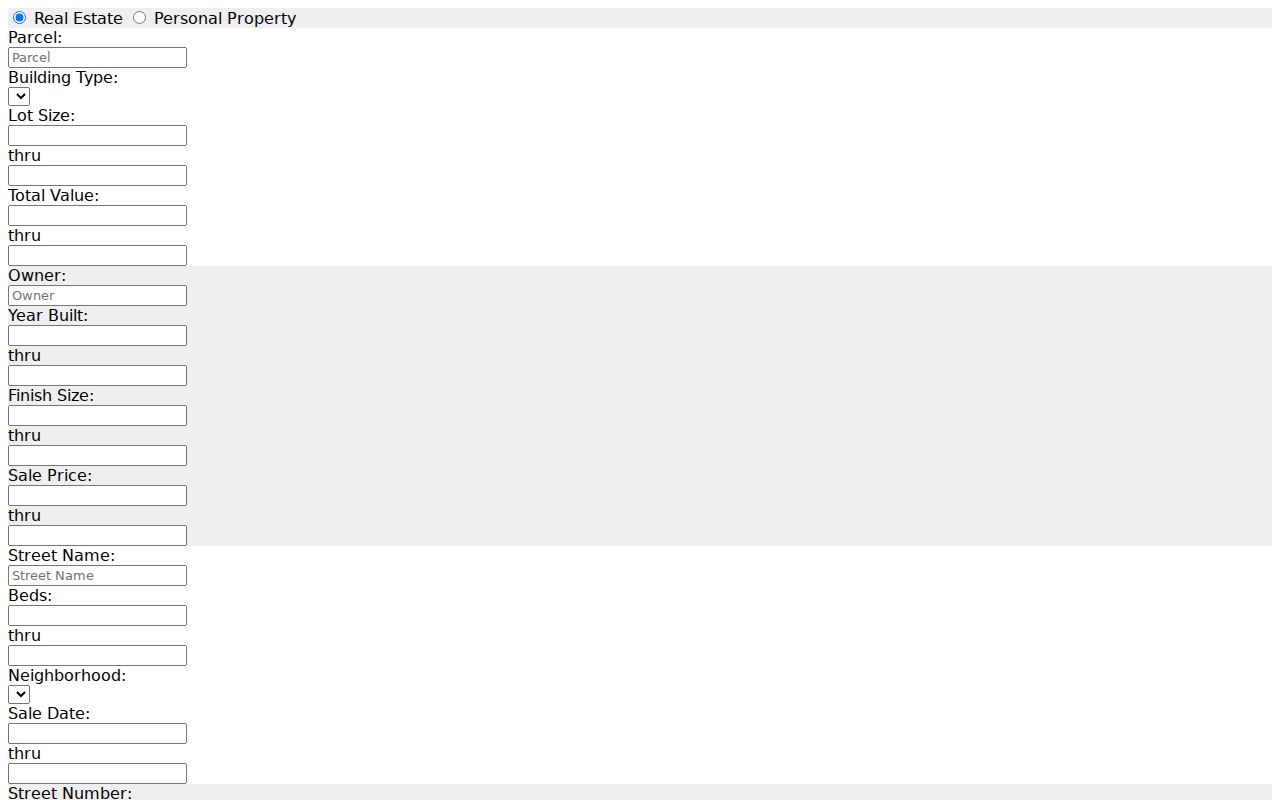
The advanced form supplies street, parcel, owner, and book/page paths without asserting that every result is a residence.
Rutherford County Records by Street
Address-keyed records form a chain, not a single street directory. Parcel identity connects the Assessor and GIS. The legal description and book/page lead to the Register. County building reports add dated permit or enforcement context for unincorporated areas. Polk directory years and Archives collections add past listings. Election products have a separate statutory route. A reader should label every entry by source and date rather than compressing these sources into one current household claim.
| Address record | What it can show | Access channel | Coverage caution |
|---|---|---|---|
| SiteAddressPoint | Address, unit, municipality, ZIP, coordinates | Official REST map layer | Current layer, no historical version stated |
| Assessor | Owner, parcel, situs, mailing, assessment fields | Online search or office | Assessment, not occupancy |
| Register index | Parties, date, book/page, legal description | Register office and index route | Current online span not located |
| Building reports | Permit type, detail, fees, enforcement context | County reports | Unincorporated county, city systems differ |
| Directories | Dated household or business listing | HRC, Archives, library routes | Catalog years and gaps vary |
Rutherford County Deed Chain Along a Road
Use the Register of Deeds after the address and parcel are established. A research sheet should retain instrument date, recording date, book/page or instrument number, grantor, grantee, legal description, parcel or tract reference, document type, and cross-reference. The index is a finding aid. Read the recorded instrument because a name can be a trustee, executor, beneficiary, witness, grantor, or grantee with a different relationship to the land.
Older property research can continue through the Tennessee State Library and Archives microfilm inventory. It lists direct/reverse deed index material from 1804 forward and later index segments on specified rolls. A tract may split or merge, so a current parcel should not be forced backwards into one earlier tract. Follow the legal description first, then pair it with tax, directory, map, newspaper, and archive evidence.
Review the Register of Deeds information page for its current title-search and contact guidance.

The Register’s own caution against treating the office as a title company is important when a street search reaches a deed chain.
Rutherford County GIS and Jurisdiction
The Rutherford County GIS page routes the Data Hub and official map layers. GIS helps compare parcels, city limits, subdivisions, address points, and other overlays. It also helps determine whether a permit or code matter belongs to unincorporated Rutherford County or to Murfreesboro, Smyrna, La Vergne, Eagleville, or another municipal system. A street can cross or sit near changing jurisdictional boundaries, so verify the custodian before requesting a permit record.
Planning and Engineering maintain the urban-growth boundary, zoning, subdivision regulations, and infrastructure context. The research shows subdivision regulations amended June 10, 2024 and zoning ordinance amendments dated December 11, 2025. These overlays help explain jurisdiction and address development. They do not reveal who resides at an address.
See the County GIS information page for current Data Hub access and its accuracy statement.
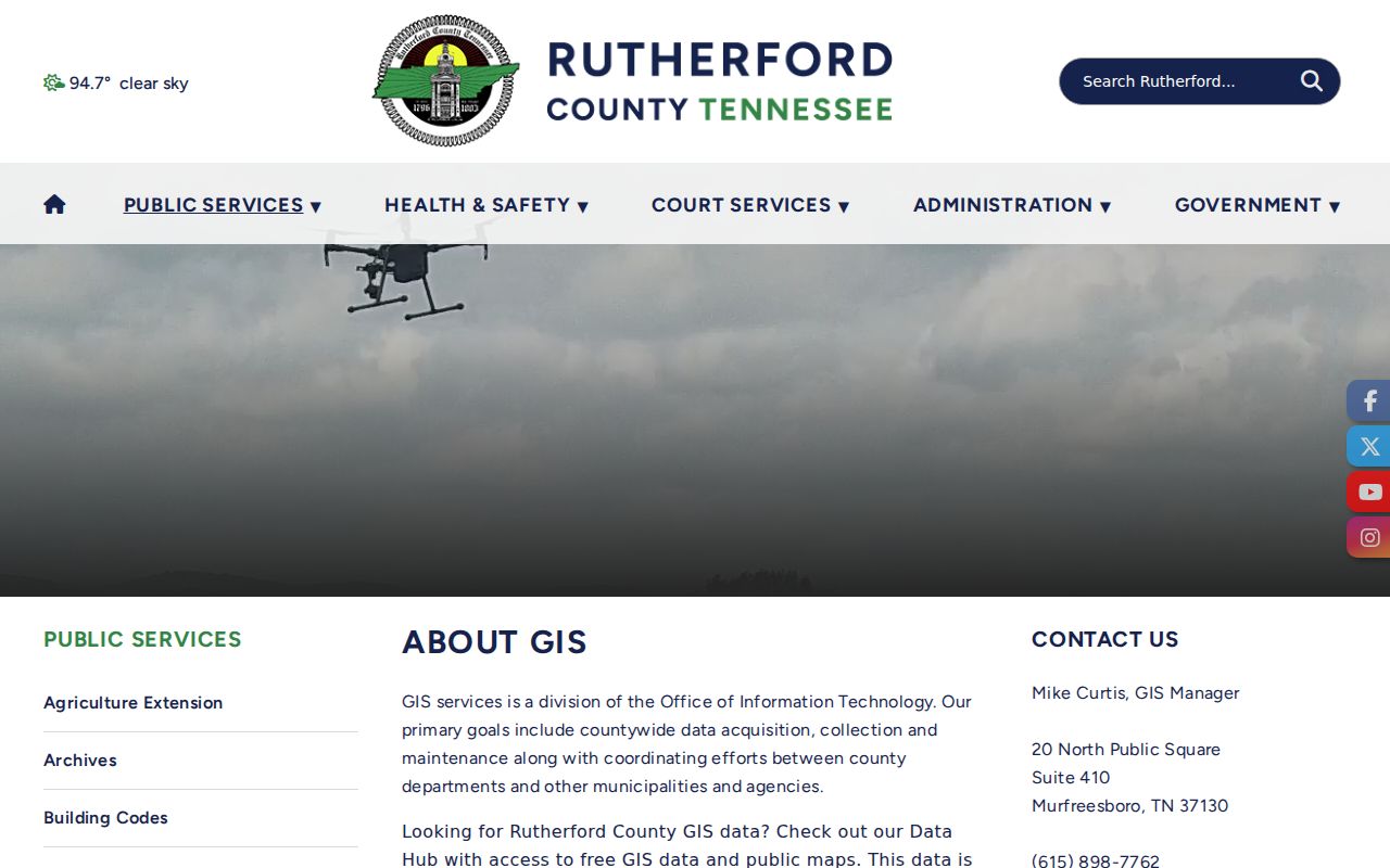
The GIS landing page is the official entry to county mapping tools, subject to the county’s stated map limitations.
Rutherford County Street Permit Records
Building Code Reports list monthly unincorporated-county permit activity, permit details, fees, and zoning-enforcement reports. The research identifies reports for 2019-2026, plus selected earlier years. Use a permit as dated property or construction evidence. A contractor, applicant, owner, or permit contact is not automatically a resident. First determine whether the street address is in county jurisdiction or a municipality with its own building and code route.
A permit can help date a structure change, show why an address appears in a report, or point to the appropriate local custodian. It cannot establish continuous occupancy. Preserve the report month, jurisdiction, type of evidence, and address as published. Pair a permit with property and recorded-land evidence before making a property-history statement.
Use the Rutherford County Building Code Reports for the county-maintained monthly records.
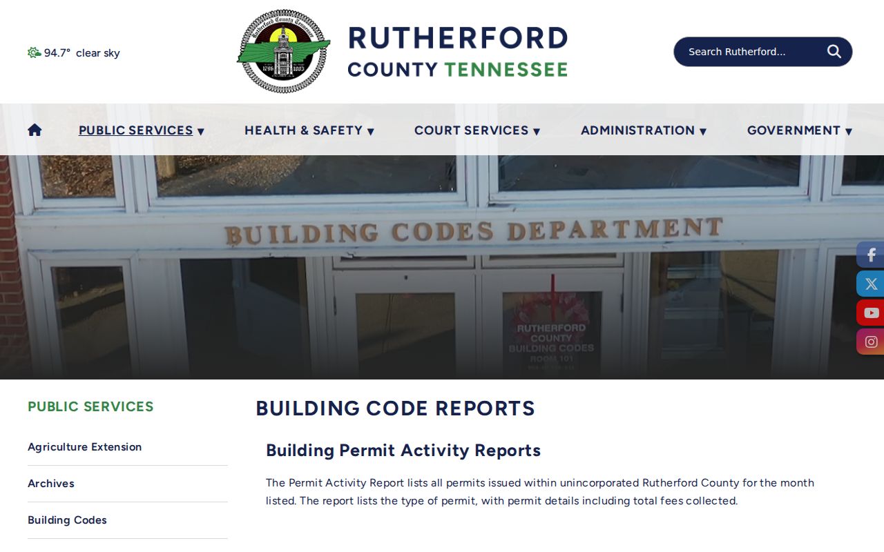
The reports provide a dated county permit layer that must remain distinct from a resident listing.
Rutherford County Street History Sources
For past names along a road, use directory volumes and local repositories after recording the present address and parcel. Nashville Public Library catalog entries identify Polk editions covering Murfreesboro-Smyrna-La Vergne, including Rutherford County, for 1998, 1999, 2000, 2001, 2003, and 2005, with Smyrna-La Vergne editions for 1994 and 1996. The catalog does not prove a complete reverse-directory shelf run. Ask the Historical Research Center or Linebaugh Library for specific volumes, call numbers, format, and access.
Archives sources can add tax records from 1877-2012, newspapers, maps, probate, court files, and local indexes. Early evidence may use town, lot, tract, or rural-route language instead of a modern street number. For the historical collection details, see the Rutherford County Directory Book. Keep a dated directory line separate from a business listing or a modern property result.
Rutherford County Street Directory Limits
A street directory cannot safely produce a current list of every household. The county address layer has no occupant field. The Assessor’s owner and mailing fields have a tax purpose. GIS maps are not legal surveys. Voter data is a regulated election product, and a mailing address does not prove current physical presence. Public association pages show governance or contact routes, not an open list of members. Sealed, confidential, protected, and restricted records remain outside a street search.
USPS is useful for normalizing a delivery address, but it cautions that a lookup does not confirm a person or company at that address. Use it with the county address point rather than silently replacing a local label. A blank result, missing unit, altered street name, malformed ZIP, or tract change is a research flag that deserves a note, not a guess.