
Rutherford County Previous Residents by Era
Previous residents are best traced through a sequence of dated sources, not a single list of occupants. A current parcel record identifies the property as it is now. A deed can show a recorded transfer or other interest. Tax, directory, newspaper, map, probate, and cemetery material can add different kinds of context. Start with the period you can document, then move backward one record role at a time. A gap between the sources is a coverage gap. It does not show that an address was empty or that a person was never connected with it.
| Source | Years It Covers | Where Held | What It Shows |
|---|---|---|---|
| Assessor and GIS parcel records | Current view; portal coverage date not located | Rutherford County online property and GIS services | Parcel, owner, situs, mailing, and address-identity leads |
| Direct and reverse deed indexes | 1804 onward in listed TSLA roll segments | Tennessee State Library and Archives microfilm; Register route | Grantor, grantee, document reference, and tract leads |
| Archives tax records | 1877-2012 | Rutherford County Archives | Dated assessment and tax relationship |
| Located city directory editions | 1950, 1962, and cataloged 1994, 1996, 1998-2005 editions | RCHS citation and Nashville Public Library catalog route | Annual household or business snapshots where listed |
| Local newspaper collections | Collection-specific runs from 1931 through 2018 | Archives and RCLS resources | Dated notices and local context |
| Landownership map | 1878 | Library of Congress | Roads, tracts, landowners, town insets, and place context |
The county Register of Deeds, Archives, Historical Research Center, Assessor, GIS service, and TSLA microfilm each answer a different question. Use an online property or map result as a starting point, but follow the record to the custodian when the next step requires an instrument, original, microfilm, or collection request.
Note: Keep an evidence column for every era so a change in ownership, address form, or household can be checked later.
Anchor Rutherford County Address Records
Begin with the county Assessor Quick Search and the Rutherford County GIS route. The quick search offers real-estate or personal-property modes and lets a user choose Owner, Address, or Map & Parcel. The assessor says practical searches need at least three characters, gives an owner-name format of “Doe John” without a comma, and uses “Main St” as a street example. That result is an assessment lead, not a statement that a named person currently lives at the situs address.
| Assessor parcel card | Record parcel, owner, situs, mailing address, values, building or sale fields, and any book or page reference. |
|---|---|
| Site address point | Record full address, unit, road, ZIP or ZIP4, municipality, subdivision, coordinates, update, and verification fields. |
| Situs address | The parcel’s physical location. It should not be confused with the mailing address. |
| Mailing address | Tax-correspondence destination, which can be another parcel, a business, a PO box, or outside the county. |
The GIS page says its maps are refreshed periodically and are not legally binding or certified surveys. The address-point service supplies address-authority and geospatial fields, not a registry of who lives there. Save the parcel ID, legal reference, road label, subdivision, municipality, and the date checked before moving to the deed record. This keeps the address anchor separate from any claim about past residents.
Trace Rutherford County Deed Records
The Rutherford County Register of Deeds is the authoritative starting point for recorded conveyances. It lists its office at 319 North Maple Street, Room 133, Murfreesboro, with weekday hours from 8:00 to 4:00 and phone number 615-898-7870. The office also warns that it is not licensed or bonded to conduct title searches and does not guarantee that a deed is clear. Use the index to find an instrument, then read the instrument and its legal description. Seek a title professional if a legal conclusion is needed.
- Establish the current parcel ID and situs through the Assessor or GIS service, then save the parcel and legal-reference fields.
- Find the current owner in the Register or TSLA grantor-grantee and direct-reverse index route, and capture the instrument and recording details.
- Use the prior grantee as the next grantor in the backward search, following the legal description and tract reference rather than only the street spelling.
- Bridge newer parcel results to older books with sale or book-page references, and branch the work when a parcel split or merger appears.
- Move to TSLA microfilm and deed books when the earlier index segment is needed, recording each role and date on the research sheet.
- Grantor and grantee
- The grantor transfers an interest named in a recorded instrument. The grantee receives the stated interest.
- Chain of title
- A documented sequence of recorded property interests. It must be checked in the underlying instruments, not inferred from names alone.
- Legal description
- The tract or parcel wording in the record. It is often more stable than a street address when an older record is being matched.
Record instrument date, recording date, book and page or instrument number, grantor, grantee, legal description, parcel or tract reference, deed type, and cross-reference. Trust deeds, easements, restrictions, partitions, estate transfers, and tract splits can appear in the same trail, and the named party’s relationship to the property may differ. A recorded transfer is a lead for previous residents, not a complete occupant list.
Rutherford County Record Indexes
The TSLA Rutherford microfilm inventory gives the physical preservation path where a modern web index does not supply a stated coverage period. It lists a direct and reverse deed index for 1804 through 1840 on roll 103, A-B for 1824 through 1861 on roll 103, C-D/4 for 1864 through 1890 on roll 103, and 5-9 for 1890 through 1925 on roll 104. It continues with 10-12 for 1925 through 1939 and 13-14 for 1941 through 1948 on roll 105, then 15-16 for 1949 through 1953 on roll 106. Later 17-series continuations begin on rolls 107 and 108 and later rolls.
The FamilySearch Rutherford County deed abstracts catalog item offers another lead to abstracted names and instruments.
Use an abstract to locate a name or instrument, then corroborate it with the recorded deed or the Register and TSLA index route.
The inventory also lists deed books from 1804 through 1964 and trust deeds from 1797 through 1963. Verify the full continuation in the inventory before claiming any later ending date. Current online Register index coverage was not located in the official sources, so ask the Register about current index and image access arrangements when earlier past residents need a deed reference.
Rutherford County Parcel Records
A modern parcel is not always one older tract. When a split or merger appears, branch the chain and record the date of the change instead of forcing one current parcel backward into one earlier description. Follow the legal description, tract language, and recorded cross-references. A change in street spelling can matter, but it is not the only thing that can change. Road labels, units, subdivisions, municipal context, and parcel lines can all differ from their earlier forms.
The county address-point layer can return full address, unit, road, municipality, ZIP or ZIP4, subdivision, coordinates, last-update, and verification fields. Those details help identify the current address form. They do not establish previous residents. When a property record points to a permit, treat the permit as dated property or structure evidence, not proof of occupancy. The county’s Building Code Reports cover unincorporated Rutherford County and distinguish that jurisdiction from several municipal code systems.
Note: Copy the legal description exactly first, then keep any normalized street form in a separate research field.
Match Rutherford County Past Residents
Past residents can be traced through more than ownership. The located Polk city directory years provide annual snapshots where a line was printed, while census material is a dated enumeration. Archives tax records show an assessment or tax relationship, and newspaper or cemetery material can help resolve a name. Keep those categories distinct. A business entry, property interest, map label, and household listing may concern the same person or place, yet each makes a different and limited claim.
Record flow: current parcel and deed reference → earlier grantor or grantee → identified directory year or tax record → census or newspaper context → cemetery, will, or probate lead. The historical volumes themselves are described in the Rutherford County Directory Book; use them here as dated household evidence rather than assuming a complete address-by-address run.
For a directory line, capture the exact address, city spelling, classification, telephone, and cross-reference. Then move backward through the cataloged Polk editions and ask HRC or Linebaugh whether a reverse or criss-cross volume exists for the needed year. No official Rutherford County reverse-directory title or year range was located. That absence is a question for the collection holder, not evidence about a particular household.
Rutherford County Historic Address Records
Early address work needs a different map of the county. Rutherford County was created in 1803, and the First Families material dates organization to October 25, 1803 and establishment to January 3, 1804. The county-seat decision near Murfree’s Spring came in 1812, and the first lots were sold on June 12 of that year. These dates explain why the older deed, map, court, and family evidence can use county, town, tract, or lot vocabulary instead of a modern street number.
The Murfreesboro founding timeline provides local context for the early lot and county-seat history.
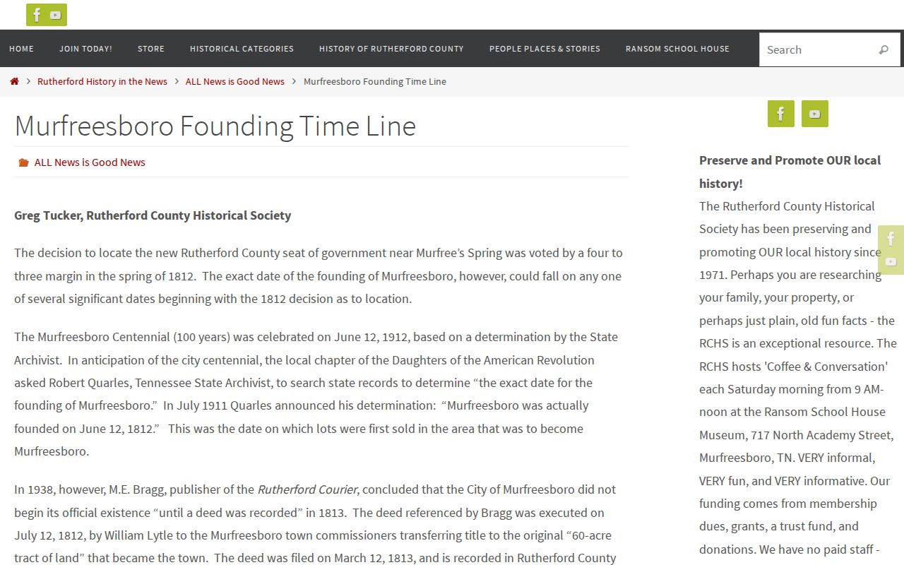
Use a timeline as context for older lot references, then verify the associated person or tract in the deed, map, tax, court, or archive record.
The 1878 Library of Congress landownership map adds roads, railroads, tract lines, landowner names, town insets for several county communities, a name list, business directories, and a population table. It provides a pre-modern address anchor. It is not a current parcel map, a household census, or a list of previous residents.
Rutherford County Archive Records
Rutherford County Archives and the Historical Research Center provide the corroborating layer around a deed or directory name. Archives lists tax records from 1877 through 2012, Daily News Journal bound volumes or microfilm from 1931 through 1992, county maps, research files, and RCHS publications. It also lists marriage, will, birth, and death indexes with collection-specific date ranges. A death-index result supplies a name, year, and entry or page field, not a digitized certificate. Ask whether the source is an index, original, microfilm, or image before recording it as evidence.
The First Families of Rutherford County program describes the kinds of proof that can support a documented family line, including county documents, federal census, newspapers, family histories, marriages, births, obituaries, and death certificates.
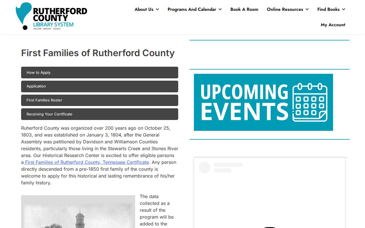
The program is a genealogy certification route for direct descendants of pre-1850 first families, not a current-resident lookup.
Historical Society Publication 54, Cemeteries & Graveyards of Rutherford County, has more than 760 cemetery and graveyard entries, an index, and newspaper-obituary and First Presbyterian session-death references from 1812. Ask RCHS or HRC about availability and fees because they are not consistently published.
Lawful Rutherford County Record Use
House history, family research, heir questions, and local history are sensible reasons to assemble a dated record trail. The limits matter as much as the sources. An assessment result does not prove occupancy. A deed does not prove continuous residence. A map can name a landowner rather than a household. A missing year can reflect a source gap. Keep uncertainty in the notes, verify significant facts with the record custodian, and avoid treating a name in an index as the full underlying record.
Lawful use. Use Rutherford County property and historical records for personal history, family research, and property curiosity. Do not use information about a living person to stalk, harass, or harm anyone.
Past-resident work is strongest when each conclusion stays close to the source that supports it. Record the custodian, collection, date, page or instrument reference, and the question that the record actually answers.
Note: Label each conclusion by source type so an ownership lead is not mistaken for household evidence.