
Rutherford County ZIP Code Coverage
The county's official SiteAddressPoint layer returns postal values found on address points, not a certified list of every delivery area. That distinction matters in an edge-heavy county. Murfreesboro, Smyrna, La Vergne, Eagleville, Christiana, Rockvale, Lascassas, and rural areas can share county systems while using different postal and municipal labels. The table lists the clearest local-area values returned by the inspected county layer. The layer does not establish a post-office assignment, so USPS must confirm the postal result for a full address.
| ZIP | Areas Covered | Post Office | Notes |
|---|---|---|---|
| 37037 | Christiana area | Verify by full address | County-layer value |
| 37060 | Eagleville area | Verify by full address | Postal city needs USPS confirmation |
| 37085 | Lascassas area | Verify by full address | County-layer value |
| 37086 | La Vergne area | Verify by full address | County-layer value |
| 37127 | Murfreesboro south area | Verify by full address | Postal city label not established by the layer |
| 37128 | Murfreesboro west and southwest | Verify by full address | County-layer value |
| 37129 | Murfreesboro north area | Verify by full address | County-layer value |
| 37130 | Murfreesboro central and Linebaugh area | Verify by full address | County-layer value |
| 37132 | Murfreesboro special, PO Box, or institutional use | Verify delivery type | Do not assume street delivery |
| 37153 | Rockvale area | Verify by full address | County-layer value |
| 37167 | Smyrna area | Verify by full address | County-layer value |
A Rutherford County ZIP code directory is most useful when it preserves this uncertainty. The returned values can direct a postal check or an address-layer query. They cannot show who receives mail at a place, define city jurisdiction, or establish that every address using a label lies wholly within the county.
USPS Rutherford County ZIP Code Checks
The USPS ZIP Code Lookup has three separate routes: By Address, By City and State, and Cities by ZIP. Start with a narrow physical address when one is available. Include the apartment, suite, or other unit detail, because a base address and its units should not be treated as the same postal record. A city-and-state search can return associated postal results, while a five-digit query returns city names linked to that ZIP.
| USPS mode | Fields captured | What to retain |
|---|---|---|
| By Address | Company; street address; apartment/suite/other; city; state; optional ZIP | The standardized address and returned ZIP result |
| By City and State | City and state | The possible ZIP and city combinations |
| Cities by ZIP | Five-digit ZIP | Associated city names, not a residency finding |
USPS PostalPro address-information guidance describes the ZIP+4 and address-information context captured in this source image.
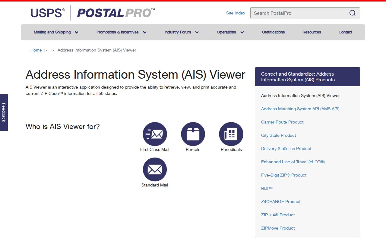
USPS states that a lookup does not confirm a person or company at an address and cannot guarantee a business location. Treat the answer as a delivery-address check, then compare it with county addressing and the record custodian that holds the next source.
Rutherford County ZIP Code Address Fields
For county geography, the SiteAddressPoint layer offers more than a ZIP field. It stores the full address, road components, unit labels, municipality, county, state, ZIP, ZIP4, MSAG community, PSAP, subdivision, coordinates, addressing authority, last-update and review information. The layer is an official addressing and map resource. It normalizes a location; it is not a list of people at that location.
| ZIP and ZIP4 | Postal fields attached to the address point. Confirm delivery with USPS. |
|---|---|
| Municipality | The county's municipal field, useful when a postal city and local government boundary differ. |
| MSAG and PSAP | Emergency-service addressing context, not a postal city or proof of residence. |
| Unit fields | Unit type, number, alternate unit, and related location detail that should remain distinct from the base address. |
| Update and verification | Last-update, reviewed, verified, capture, and authority fields that describe address maintenance. |
The county address-point source below shows the schema and query controls. The service supports advanced queries, statistics, distinct values, pagination, and distance queries, while the related map service has a 2,000-record cap. These are geographic tools, so a query result still needs a source date and an independent check where accuracy matters.
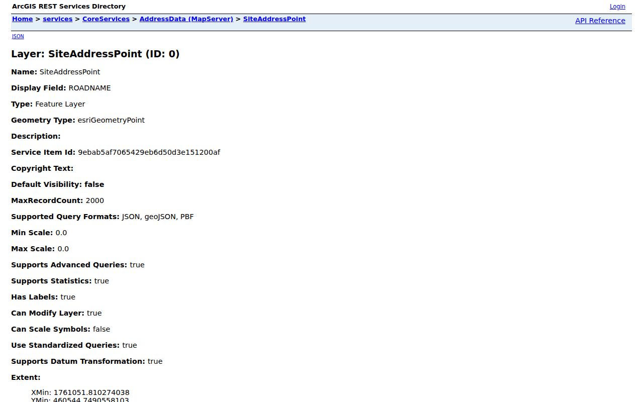
County GIS is refreshed periodically and warns that its maps are not legally binding or certified. Preserve the raw address label and the date of the query instead of silently replacing an older directory or deed description.
Find Residents by ZIP in Rutherford County
ZIP-based work is an address-routing task, not a ZIP-wide name search. The research did not locate a ZIP field in the Assessor Advanced Search form. Its visible filters include parcel, owner, street name and number, neighborhood, book/page, sale date, value, size, and other ranges. The election office's paid labels include name, mailing address, city, state, and ZIP, but that is a product rule under T.C.A. § 2-2-138 rather than a public person-search filter.
- Run a full address through USPS and retain the returned postal address and ZIP, including unit detail where applicable.
- Compare that answer with the county address point's ZIP, ZIP4, municipality, MSAG community, subdivision, and update fields.
- Use the assessor's address or owner mode for a specific parcel. Record the situs and mailing fields separately, because neither converts an owner into an occupant.
- For a permitted election-data order, state the desired jurisdiction, product, election or date span, and whether a household grouping or labels are wanted.
- When a ZIP narrows the address to a named road, use the Rutherford County Street Directory for the address-by-address record sequence.
The closest ZIP-capable public source is the county address layer, whose query controls can work with its ZIP field. Its values must be checked against USPS before parcels are grouped, especially on county edges or at locations with a unit, rural route, or special delivery arrangement.
Rutherford County ZIP Code Directory Values
The county layer returned a complete inspected set of distinct ZIP values, including edge and questionable values. This inventory is deliberately not presented as a current postal county list. It is a record of what the county address layer returned. A complete official USPS export for the county was not located, so every address needs validation through the postal lookup.
| Returned group | ZIP values | How to use the result |
|---|---|---|
| Primary local-area values | 37037, 37060, 37085, 37086, 37127, 37128, 37129, 37130, 37132, 37153, 37167 | Check the exact address with USPS; these descriptions came from the county layer. |
| County-edge or rural service values | 37014, 37016, 37020, 37046, 37068, 37073, 37090, 37116, 37118, 37120, 37122, 37135, 37149, 37160, 37180, 37211 | Do not assume the full delivery area or postal city lies in Rutherford County. |
| Malformed, null, or anomalous returns | null, 3706, 8086, 37986 | Treat as missing, malformed, legacy, or out-of-area-looking until an address is verified. |
Values at the county border can be useful flags. They show when a records search may need a county address layer, a city service, and USPS rather than a single postal label. A null or malformed value is not a ZIP and should not be published as one.
Rutherford County ZIP Code Postal Edges
Rutherford County's address geography is shaped by overlapping systems. The county address layer records municipality, ZIP and ZIP4, subdivision, addressing authority, and emergency-service fields. Murfreesboro's governmental GIS service adds city limits, annexations, subdivisions, zoning, tax polygons, schools and facilities, plus a Census ZIP layer identified as 2016. Those overlays can explain why a postal city label does not answer which local office has a permit, map, or municipal record.
The county planning material also identifies an urban growth boundary, subdivision regulations amended June 10, 2024, and a zoning ordinance amended December 11, 2025. Those are jurisdictional references, not postal boundaries. In the absence of an official street-renumbering source, retain historical road wording from a deed or directory and compare it to the county's modern road components.
Note: Murfreesboro, Smyrna, La Vergne, Eagleville, Rockvale, Christiana, Lascassas, and rural communities may share county systems without sharing the same postal or municipal label.
Rutherford County ZIP Codes and City Limits
A ZIP code is built for mail delivery. A city limit is a governmental boundary. A Census ZIP Code Tabulation Area, or ZCTA, is a statistical approximation of USPS ZIPs. The Census notes that 2020 ZCTAs can be noncontiguous, institutional, corporate, unique, or PO Box only, and they are not delivery routes. Use the right system for the question: USPS for delivery, county or city GIS for jurisdiction, Census ZCTAs for statistics, and assessor or deed records for property.
- ZIP versus ZIP+4
- A ZIP is the five-digit postal code. ZIP+4 adds a more specific delivery segment, but still does not identify a person.
- PO Box ZIP
- A postal code used for box service. It may not indicate a street-delivery area.
- Unique ZIP
- A ZIP associated with an institution or defined delivery use. Confirm its delivery type before drawing conclusions.
- Carrier route
- A postal delivery grouping used in address information. It is not a legal boundary or a population roll.
Rutherford County ZIP Code Data Cautions
Census ZCTA guidance provides the visual reference below for the distinction between statistical ZIP approximations and USPS delivery ZIPs. USPS AIS data can include ZIP, ZIP+4, carrier route, county code, delivery point, and check-digit fields; it is updated monthly, encrypted, and non-exportable. County GIS is refreshed periodically, and the city Census ZIP layer has its own stated 2016 reference.
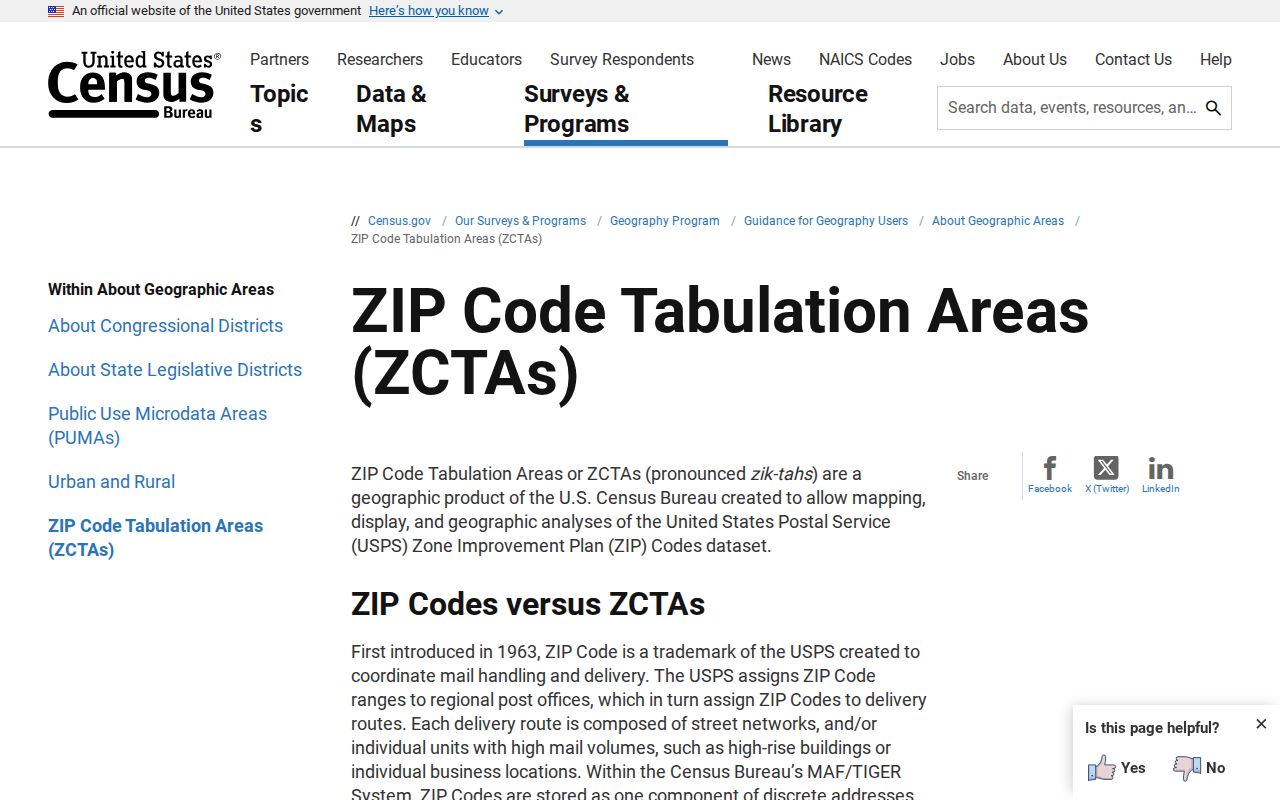
Keep the source, query date, and field purpose beside every ZIP result. A postal lookup can standardize an address, but it cannot confirm a person's presence, settle an owner-versus-occupant question, or turn a map boundary into a legal survey.